Brahic (n°1)
LES VANS
Brahic (n°1)
Medium
3h30
10,4km
+418m
-419m
Loop
Yellow markup
GR
Embed this item to access it offline
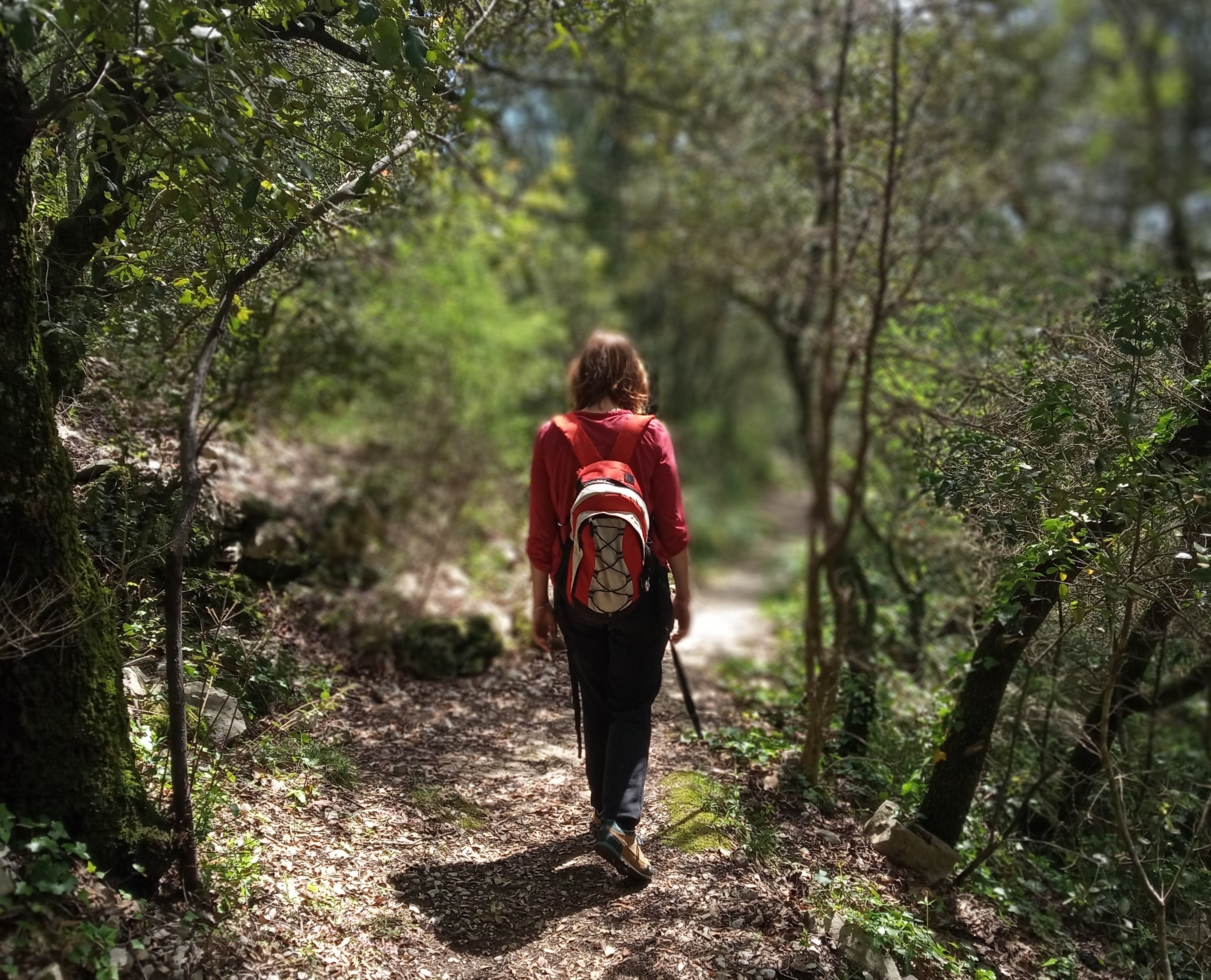
As you climb the foothills of the Serre de Barre, you’ll come across the villages of Naves and Brahic. You’ll notice three very different landscapes: white limestone with olive trees, thyme and juniper trees, the greenish and very crumbly marl (cirques below) and the dark schist where pine and chestnut trees grow. Such geological diversity in a small area is very rare.
Description
P – Return to the café almost opposite the post office.
 Le Bourdaric - Follow Naves 1,7 km (
 ).Take the lane to the left of the café, which becomes a path that winds through vineyards and olive trees. A pretty stone path then leads to the bottom of the village of Naves. Go up to the church.
- Follow Naves via the stone path for 0.5km
- Naves - Follow Les Alauzas 1,4 km. Head down towards the middle of the village. After an archway, take the steps on the left that soon lead to a steep, stony path (this is also part of the Naves Geological Trail). The path climbs to the limestone cliffs and continues in a forest of oaks and chestnut trees. For your safety, stay on the path. 100m before you reach the hamlet of Alauzas, leave the geological trail on the right and continue until you reach the houses.
- Les Alauzas - Follow Brahic 2,7 km. When you reach the forest track, turn left and follow it for more than 3 km until it widens and a sign on the left indicates a dead end. Leave the track and go down the path that leads to the village of Brahic.
- Brahic - Follow Jaroussière 0,8 km (
 ; ). In the village, take the alley that goes down towards the left. As you leave the village, take the road on the left for about 20m (past the picnic tables). The path that returns to Les Vans starts on your right.
 - Jaroussière - Follow Les Gras 2,5 km. After a pleasant walk through chestnut groves, crossing the road (D251) several times, the path leads to a limestone area called the Plateau des Gras.
- Les Gras - Follow Combe Escure 2,5 km ().This is followed by a succession of paths and small roads to reach Les Vans. Follow Les Vans Place Ollier (
 ).
).
- Departure : Les Vans, Tourist Office
- Arrival : Les Vans, Tourist Office
- Towns crossed : LES VANS and GRAVIERES
Forecast
Altimetric profile
Prepare my journey
Recommandations
Be careful when walking on the limestone cliffs. Do not go too close to the edge.
Carte IGN 2839OT
Information desks

Office de tourisme des Cévennes d'Ardèche
Joyeuse/Les Vans
Transport
Let us limit travel by car, think of public transport and carpooling. All public transport on transports-region-auvergne-rhone-alpes
Access and parking
From Joyeuse (15 km), follow the D104 and the D104a to Les Vans.
Parking :
Les Vans, parking lot at place Ollier