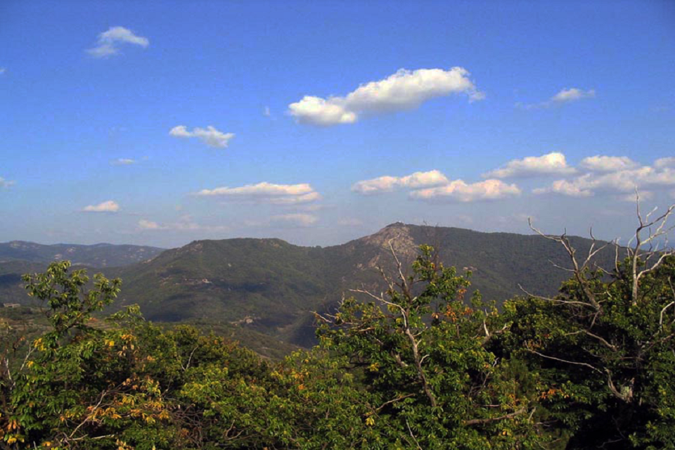
Beaumont botanic trail

BEAUMONT
Beaumont botanic trail
Medium
3h
5,2km
+375m
-378m
Loop
GRP
PR
Embed this item to access it offline
Discover the flora of the Cévennes along this botanical trail. Your walk will take you through the various hamlets of Beaumont.
Description
P - Cross the Pont du Gua and take the road left for 100 metres. The path starts at the edge of the road on the right, and follows the Tour du Tanargue GRP (
- Colobrouze. The path climbs in a zig zag up to La Roche (
).
- La Roche. Follow the path to Clément.
- Clément. Leave the GPR and take a path on your left (
) past a wall. The path continues and then descends. Cross several streams and fairly dense woodland, then climb up to Flacouze (N.B. on your right as you climb, you’ll see a beautiful spring).
- Flacouze. Take the road. After several bends, take the path on the left after the fire reservoir to Bisourne.
- Bisourne. Follow the road to get back to your starting point.
- Departure : Beaumont, Pont du Gua
- Arrival : Beaumont, Pont du Gua
- Towns crossed : BEAUMONT
Forecast
Altimetric profile
Information desks
Office de tourisme des Cévennes d'Ardèche
Joyeuse/Les Vans
Transport
Let us limit travel by car, think of public transport and carpooling. All public transport on transports-region-auvergne-rhone-alpes
Access and parking
From Les Vans (28 km) join Joyeuse (14 km) and continue on the D203 towards Valgorge until the Pont du Gua.
Parking :
Beaumont, Pont du Gua
