Banne (n°14)
BANNE
Banne (n°14)
Medium
3h30
6,1km
+217m
-218m
Loop
Yellow markup
GR
Embed this item to access it offline
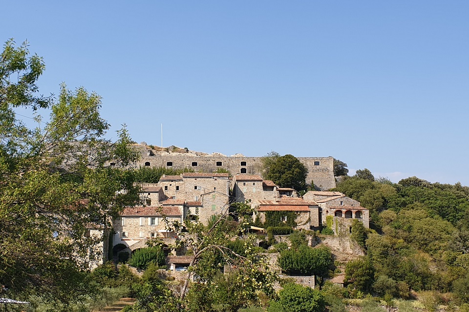
A very shady circuit with fantastic views of the plain, the Serre de Barre and the Cévennes.
Description
- School Square - Follow (
 ) Place du Fort 0,2 km (
 ).
). - Place du Fort - Follow Place de l'Eglise via le Ranquet 1,1 km ().
- Cemetery - Follow Place de l'Eglise 0,2 km.
- Place de l'Eglise - Follow Montgros via l'Ozide 2 km. The path, bordered by two low walls, climbs through an old chestnut grove partly colonised by maritime pines. At the crossroads, turn left until you reach a junction of three tracks.
- Montgros - Follow Le Mazel 1 km ().Turn right onto the dirt track that starts near the concrete electricity pylon. 250m further on, turn left and continue straight on. This leads down and joins the small road that you should take on the right to reach the hamlet of Mazel.
- Le Mazel - Follow Place de l'Ecole 1,8 km (, ) to get back to the car park where you started.
- Departure : School car park, Banne
- Arrival : School car park, Banne
- Towns crossed : BANNE
Forecast
Altimetric profile
Prepare my journey
Information desks

Office de tourisme des Cévennes d'Ardèche
Joyeuse/Les Vans
Transport
Let us limit travel by car, think of public transport and carpooling. All public transport on transports-region-auvergne-rhone-alpes
Access and parking
From Les Vans (10 km) or Joyeuse (21 km) take the direction of Alès. Follow Banne.
Parking :
Tourist Information Point Car Park