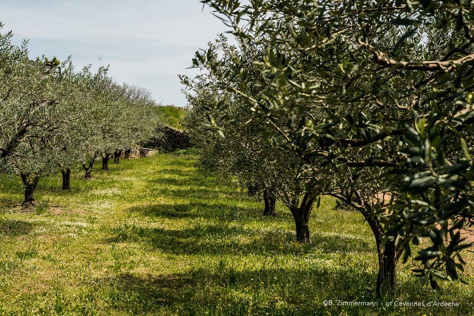
The olive trail
SAINT-GENEST-DE-BEAUZON
The olive trail
Medium
4h
11,1km
+336m
-338m
Loop
PR
Embed this item to access it offline
This trail, starting from the village of Saint-Genest-de-Beauzon, will allow you to discover its numerous olive groves.
Description
P – From the Saint-Genest-le-Beauzon town hall, follow the road alongside the unfinished church to reach Le Suel via a vaulted passage.
 Le Suel - Follow Payzac 5 km. Continue along the road until you reach Les Laurences.
- Les Laurences - Follow St-Genest-de-Beauzon 5 km. Continue on the road; at the cross, go left, continue along a track to the road. Take the road on the left to Les Salettes.
- Les Salettes - Follow Payzac 4,2 km. Continue along the road until you reach a bend, take the track on the left through the olive groves. Take a path on your left down to another track, turn right and continue to L’Espic.
- L'Espic - Follow St-Genest-de-Beauzon 4,9 km. Continue along the track and take the path on your left that leads uphill. Come back down to reach a track. Turn left. Pass in front of the hamlet of Darasse then through the middle of the hamlet of Salel. Go back down to the hamlet of Cros past the cemetery. Cross the main road and take the road on the right between the houses. Cross the plain and go up the hillside. On the road, turn left, then, at the crossroads, take the road to the left and, after the houses, the path to the right leading to Salavert.
- Salavert - Follow St-Genest-de-Beauzon 1,3 km. Head towards Le Monteil.
- Le Monteil - Follow Chandolas 10,7 km. Go to Les Crozes via the path.
- Les Crozes - Follow Chandolas 10,6 km. On the road, turn left and then leave it a little further on the right. Continue until you reach Le Raynal.
- Le Raynal - Follow St-Genest-de-Beauzon 2,6 km. Get to the tennis court and turn right onto the road. Continue along the path on the right. Continue along the path to the right. At the crossroads with a road, turn left and, further on, take the path that climbs to the right. Follow the path to Les Laurences.
- Les Laurences - Follow Info Rando 0,3 km. Go past Le Suel to return to the town hall car park.
- Departure : Town Hall, Saint-Genest-de-Beauzon
- Arrival : Town Hall, Saint-Genest-de-Beauzon
- Towns crossed : SAINT-GENEST-DE-BEAUZON and PAYZAC
Forecast
Altimetric profile
Prepare my journey
Information desks

Office de tourisme des Cévennes d'Ardèche
Joyeuse/Les Vans
Transport
Let us limit travel by car, think of public transport and carpooling. All public transport on transports-region-auvergne-rhone-alpes
Access and parking
From Joyeuse (9 km) or Les Vans (9 km), follow the D104a and join Saint-Genest-de-Beauzon.
Parking :
Town Hall, Saint-Genest-de-Beauzon