The Ferjasses trail

VALGORGE
The Ferjasses trail
Hard
6h
15km
+1074m
-1074m
Loop
GRP
PR
Embed this item to access it offline
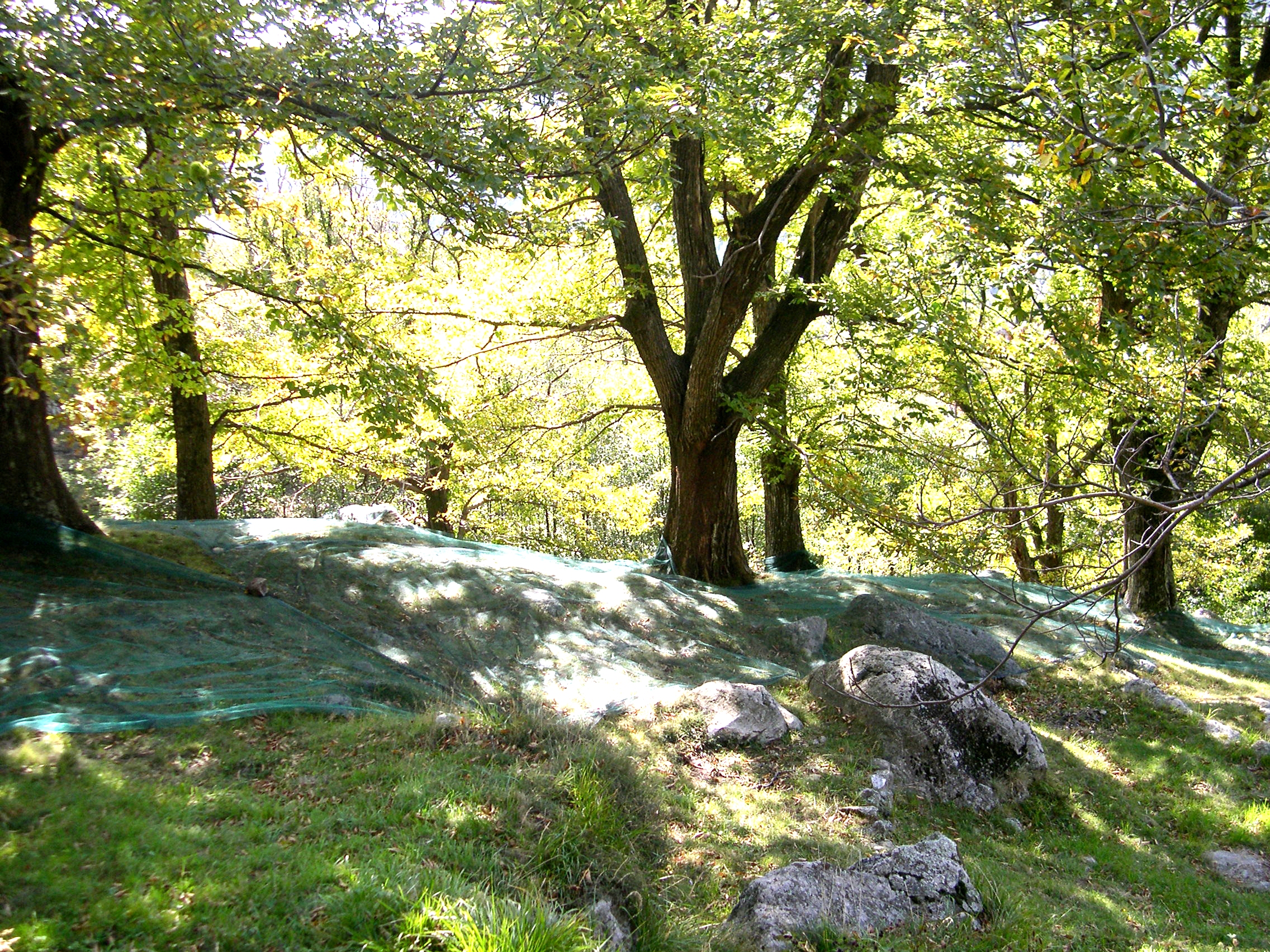
From the village of Valgorge, after Saint-Martin and the hamlet of Le Chalas, the path takes you through chestnut groves. The descent is strewn with large stones that can be slippery in wet weather.
Description
P – Take the tarmac road towards Loubaresse. Just after the fire station, take the steps leading down to the left (
-
 Saint Martin - Follow Le Chalas 1,2 km, Croix de Bancillon. Go under an archway and turn right up the steps (
). Take the main road on the left and cross it in front of the phone box. Take the tarmac road on the right, and cut down along the stone path to reach Le Derlay.
 Le Derlay - Follow Le Chalas 0,9 km, Loubaresse 8 km. The path climbs through the meadows then curves left in front of the houses and joins a tarmac road. Follow the road to the left for a few dozen metres, paying attention to the signs to leave the road by a path that heads left. It then joins the road, which you have to cross. Turn right and go up between the chestnut trees, then join a track between two walls that leads to the hamlet of Chalas. Cross the path and continue between the houses to reach the Chalas crossroads.
 Le Chalas - Follow La Grangette 15,8 km, La Croix de Beauzon 18,3 km. Go right of the house, cross the road and take the path opposite, between two stone walls. The path re-emerges a little higher up the road. Go straight on and turn right onto the road. Leave the road and take the small path that goes up on the left. Follow the signs to Méjean.
 Méjean - Follow La Grangette 1,4 km, Loubaresse 10 km (
).Continue along the ridge until you reach a track to the right. Follow it to the La Grangette hairpin bend.
 La Grangette - Follow Loubaresse 8,2 km by the main path that takes you to L’ Escoufour.
 L'Escoufour - Follow Le Chalas 3,2 km, Valgorge 5,7 km along the yellow and white marked track. When the track turns right at a right angle, leave it and take a path down to Le Ségur. Follow the signs.
 Le Ségur - Follow Valgorge 3,1 km. The track takes you to a stream; cross the stream and continue on the opposite side. Cross over a second stream before heading towards the fields and then to the houses in the hamlet of Chalas. Enter the small hamlet of Chalas du Haut, turn right after the first house onto the yellow and white marked path that descends between low walls. At the bottom of the descent, turn left to reach Chalas du Bas.
 Le Chalas - Follow Valgorge 2,2 km. Cross the road then take the steps opposite. The path goes down between two low walls then through the chestnut trees before reaching a road. Cross the road and head towards the houses before returning to the road and following it right. Leave the road by going right before the last houses and go down to Le Derlay.
 Le Derlay - Follow Valgorge 1,6 km. The path runs along the slope before turning right and going under some trees, then continues straight on before winding past some houses. In Valgorge, turn right on the main street and return to the start point.
- Departure : Centre Social Intercommunal, Valgorge
- Arrival : Centre Social Intercommunal, Valgorge
- Towns crossed : VALGORGE
Forecast
Altimetric profile
Recommandations
This trail goes across several livestock fields. Please respect local farmers and make sure you close all gates properly.
Information desks
Office de tourisme des Cévennes d'Ardèche
Joyeuse/Les Vans
Transport
Let us limit travel by car, think of public transport and carpooling. All public transport on transports-region-auvergne-rhone-alpes
Access and parking
From Les Vans (38 km) join Joyeuse (24 km) and follow the D203 towards Valgorge.
Parking :
Centre Social Intercommunal, Valgorge
