The Joyeuse ledge

LABLACHÈRE
The Joyeuse ledge
Easy
2h
5,7km
+90m
-90m
Loop
PR
Embed this item to access it offline
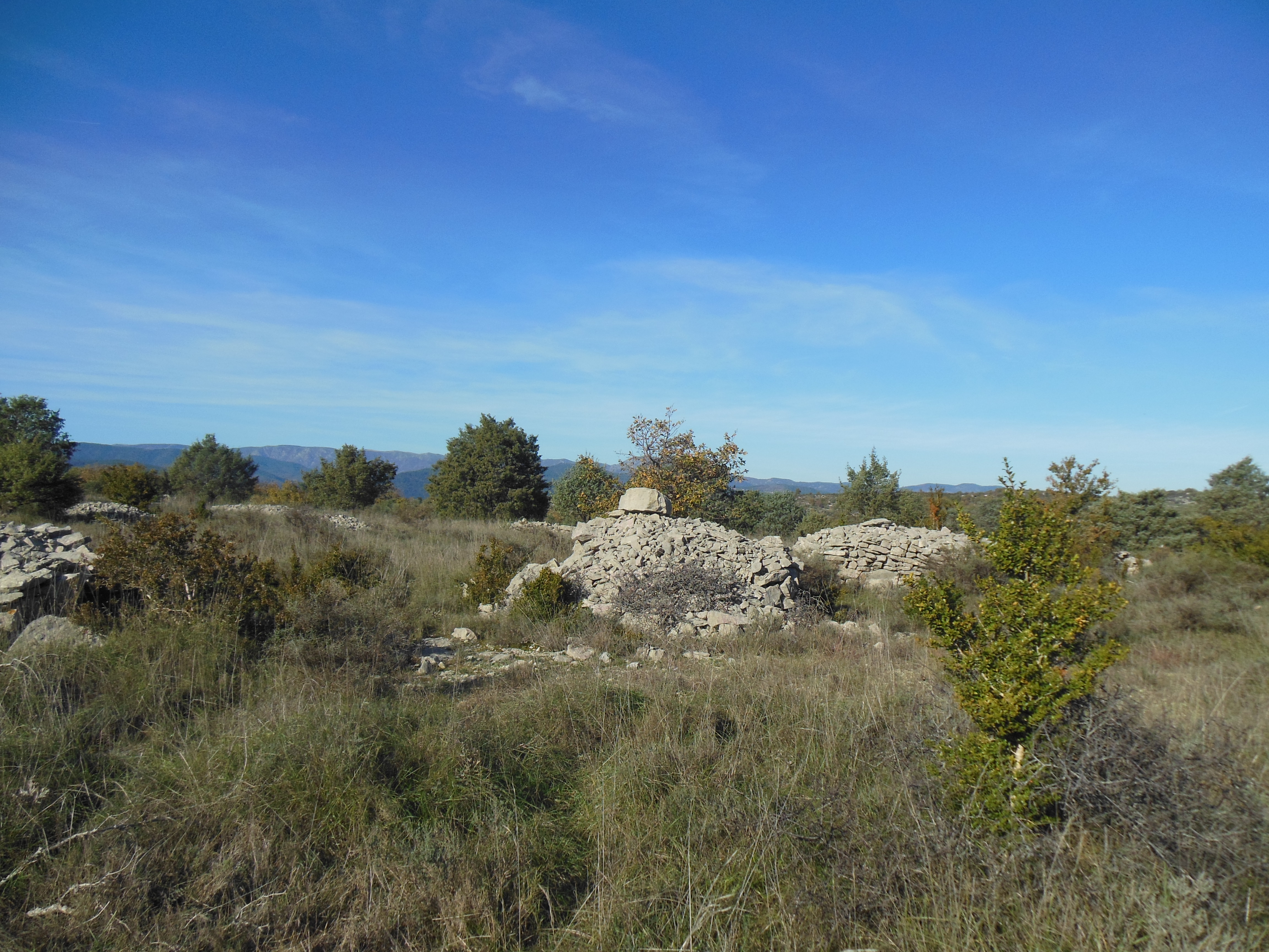
Les Gras are limestone plateaus typical of the South Ardeche. You’ll find bushes and trees such as picards, junipers, Mediterranean shrubs, old mulberry trees inherited from silkworm breeding, various oaks and Montpellier maples.
Description
P – Take the road to La Grangette
-
 La Grangette - Follow Joyeuse 2,9 km. Continue on the road alongside the bypass until you reach Le Bouchard
  Le Bouchard - Follow St-Alban-Auriolles 9,5 km. Continue on this road until you get to La Plaine des Mûres
-
 La Plaine des Mûres - Follow Joyeuse 4 km. Follow the trail overlooking Joyeuse until you get to Côte du Freyssinet.
 -
 La Côte du Freyssinet - Follow St-Alban-Auriolles 8,2 km. Keep on this track that takes you to Lauzette
 -
 Lauzette - Follow Lablachère 4,4 km. Continue on this track and then the road until you reach La Plaine de Mûres
 -
 La Plaine de Mûres - Follow Lablachère 3 km. Follow the road via Le Bouchard and then La Grangette until you get back to the start point.
- Departure : La Perle d'Eau swimming pool, Lablachère
- Arrival : La Perle d'Eau swimming pool, Lablachère
- Towns crossed : LABLACHÈRE and JOYEUSE
Forecast
Altimetric profile
Information desks
Office de tourisme des Cévennes d'Ardèche
Joyeuse/Les Vans
Transport
Let us limit travel by car, think of public transport and carpooling. All public transport on transports-region-auvergne-rhone-alpes
Access and parking
From Les Vans (12 km) or Joyeuse (4km), follow Lablachère then Aquatic Complex.
Parking :
La Perle d'Eau swimming pool, Lablachère
