Le Chemin de Traverse

SABLIERES
Le Chemin de Traverse
Medium
3h
7,8km
+0m
0m
Loop
PR
Embed this item to access it offline
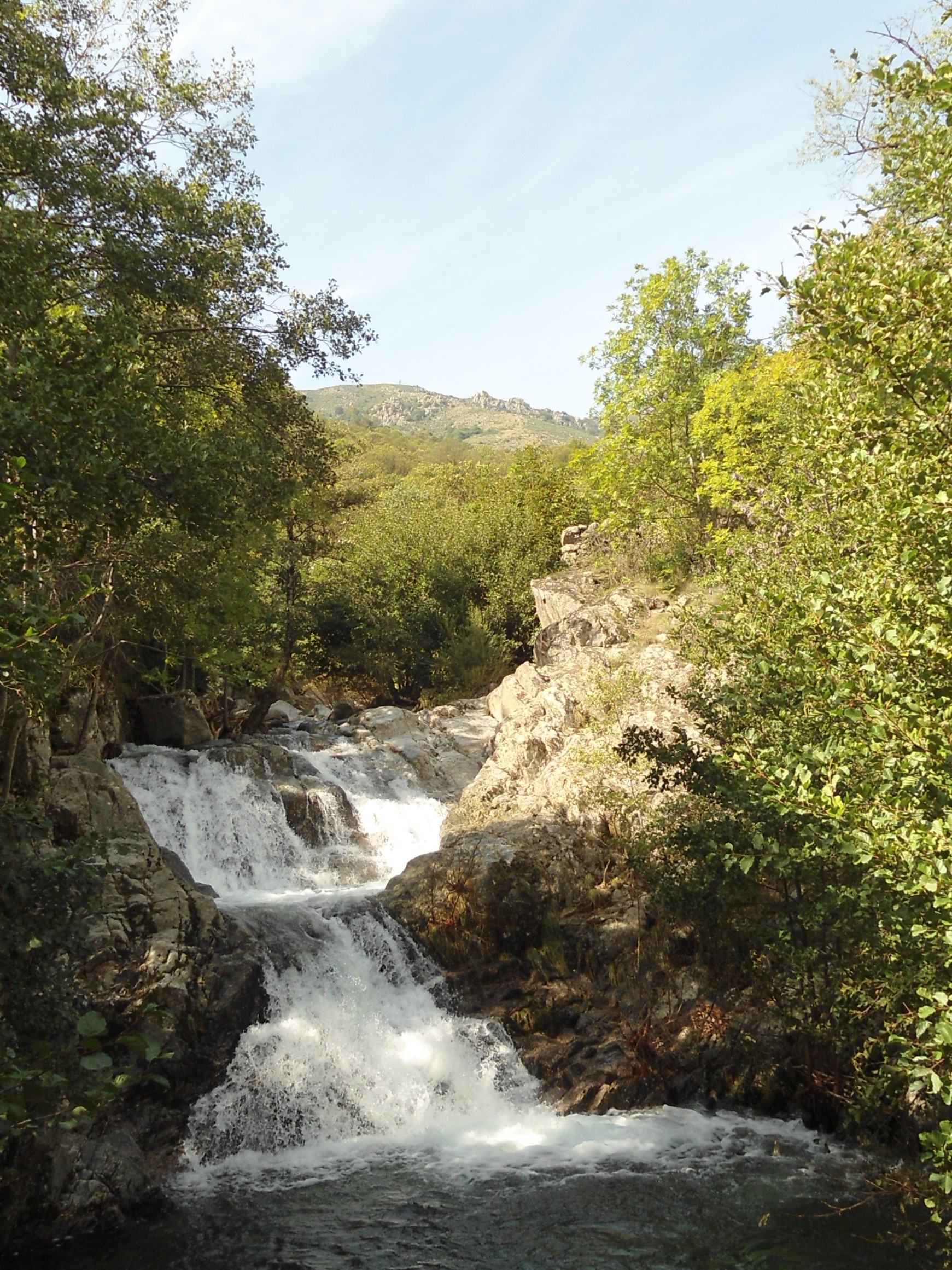
Setting out from Sablières, you’ll love the various different views.
Description
P – Take the path opposite the Town Hall towards the weather station until you reach Le Bizal Bas
 Le Bizal Bas - Follow Montselgues 9,9 km. Continue to Le Bizal
 Le Bizal - Follow Montselgues 9,7 km. Continue along the path. Go right at the crossroads. Just after the bend, leave the road and take a path down to the left. Continue to Les Escouders.
 Les Escouders - Follow Le Mas 3,1 km. Continue along the road and then take the path down towards the campsite; cross through the campsite and take the path that follows the Drobie River. On the road, go left. After the first houses, carry on along the path on your right. Pass through several hamlets and then the path takes you through a chestnut forest until you reach Martouret.
 Martouret - Follow Sablières 3,1 km. Continue along the path that goes down through the forest, and, once on the road, go left before leaving the road to take a path to Pont du Mas.
 Le Pont du Mas - Follow Sablières 1,8 km. Continue on the road until you get to the hamlet of Grimaldès. Take the road that goes down on your right, then take the path through the middle of the hamlet. Carry on to Sablières to return to the start point.
- Departure : Town Hall, Sablières
- Arrival : Town Hall, Sablières
- Towns crossed : SABLIERES
Forecast
Information desks
Office de tourisme des Cévennes d'Ardèche
Joyeuse/Les Vans
Transport
Let us limit travel by car, think of public transport and carpooling. All public transport on transports-region-auvergne-rhone-alpes
Access and parking
From Les Vans (25 km), follow Saint Laurent les Bains then Sablières From Joyeuse (25 km), follow Sablières
Parking :
Town Hall, Sablières
