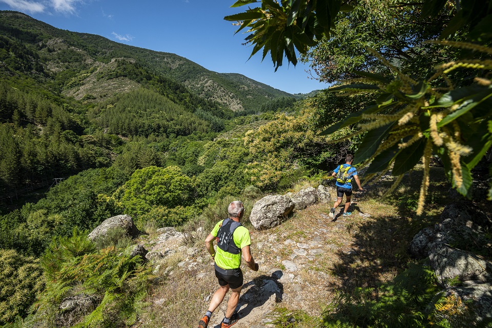
Beaume Drobie blue trail

VALGORGE
Beaume Drobie blue trail
Medium
3h
20,3km
+897m
-897m
Loop
Trail
Embed this item to access it offline
Description
P – From the car park, follow the trail signs  . For this circuit, follow the blue dots (20) on the signs along the route.
- Departure : Salle de la Pourette, Valgorge
- Arrival : Salle de la Pourette, Valgorge
- Towns crossed : VALGORGE, LOUBARESSE, and DOMPNAC
Forecast
Altimetric profile
Recommandations
This circuit is also accessible for walkers.
Information desks
Office de tourisme des Cévennes d'Ardèche
Joyeuse/Les Vans
Transport
Let's limit car travel, think about public transport and carpooling. All public transport on transports-region-auvergne-rhone-alpes
Access and parking
From Les Vans (38 km) reach Joyeuse (24 km) and follow the D203 towards Valgorge.
Parking :
Salle de la Pourette, Valgorge
