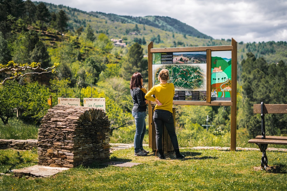
Stone paths & chestnut groves (n°53)

MALBOSC
Stone paths & chestnut groves (n°53)
Medium
3h
5,9km
+225m
-226m
Loop
Yellow markup
GRP
Embed this item to access it offline
Explore the local heritage with its schist buildings, terraces, steps, ford and fountain. You’ll pass through well-kept chestnut groves and take beautiful stone paths.
Description
P – Church Car Park
- Place de l'Eglise - Follow la Tuilière 1,3 km (
). Pass through Fourniels (
).
- La Tuilière - Follow Vernédas 0,2 km.
- Vernédas - Follow Serre d'Aubrias 1,1 km (
).
- Serre d'Aubrias - Follow Escoussous 1,8 km.
- Escoussous - Follow Malbosc Place de l'Eglise 1,6 km to get back to where you started from.
- Departure : Church Square, Malbosc
- Arrival : Church Square, Malbosc
- Towns crossed : MALBOSC
Forecast
Altimetric profile
Information desks
Office de tourisme des Cévennes d'Ardèche
Joyeuse/Les Vans
Transport
Let us limit travel by car, think of public transport and carpooling. All public transport on transports-region-auvergne-rhone-alpes
Access and parking
From Joyeuse (33 km) join Les Vans (17 km) and take the D216 to access Malbosc.
Parking :
Church Square, Malbosc
