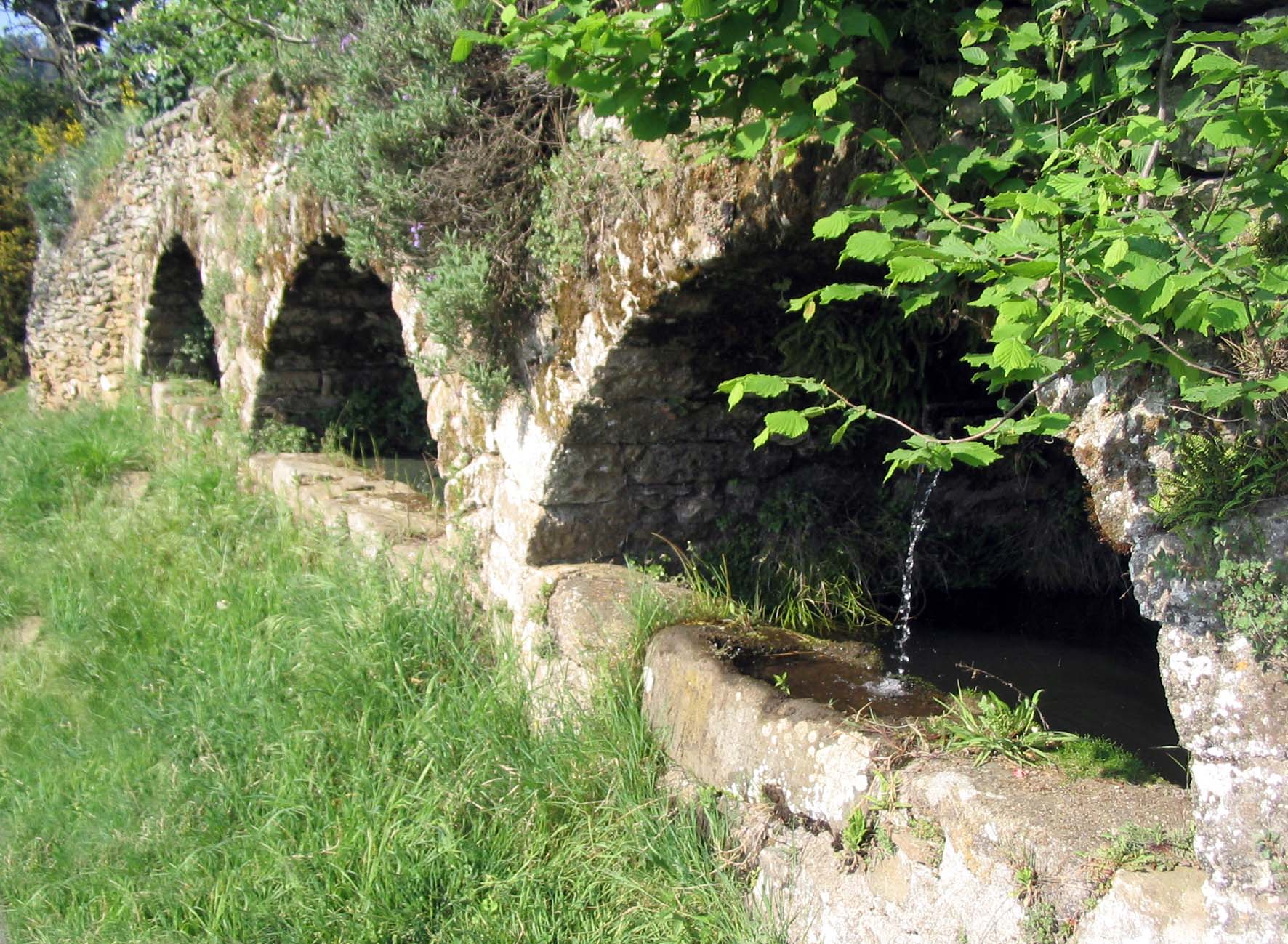
The fountains circuit, Planzolles

PLANZOLLES
The fountains circuit, Planzolles
Easy
1h30
10,3km
+356m
-356m
Loop
VTT Circuit local
Embed this item to access it offline
This mountain bike trail takes you past “faïsses” (terraces), chestnut groves and pine forests.
Description
P – From Planzolles’ town hall (
-
 Gibon - Follow Cédat 2,3 km.
 -
 Cédat - Follow Lablachère 5,5 km. Take the road to the track on the left that leads to La Rochette.
 -
 Valoubière - Follow Planzolles 4,1 km.
 -
 Le Roustalou - Follow Planzolles 2,1 km.
 -
 Peyronne - Follow Planzolles 2 km. You can return via the road back to Planzolles.
- Departure : Planzolles’ Town Hall
- Arrival : Planzolles’ Town Hall
- Towns crossed : PLANZOLLES and LABLACHÈRE
Forecast
Altimetric profile
Recommandations
When mountain-biking, please:
- Stay on the marked trails
- Control your speed at all times
- Wear a helmet and gloves and take a puncture repair kit with you
- Take enough water and something to eat
- Give way to pedestrians and horse riders. Slow down at crossroads and remember to signal
- Respect other people’s property and goods (close any gates and do not pick fruit and vegetables)
Information desks
Office de tourisme des Cévennes d'Ardèche
Joyeuse/Les Vans
Transport
Let us limit travel by car, think of public transport and carpooling. All public transport on transports-region-auvergne-rhone-alpes
Access and parking
From Les Vans (18 km) or Joyeuse (10 km) follow Lablachère, in the center follow Planzolles.
Parking :
Planzolles’ Town Hall
